Domokos transforms a vast and geographically challenging water network into a fully digital system which improves efficiency, reduces losses, and secures reliable water services for all communities.
TRANSFORMING A COMPLEX NETWORK INTO ONE CONNECTED SYSTEM
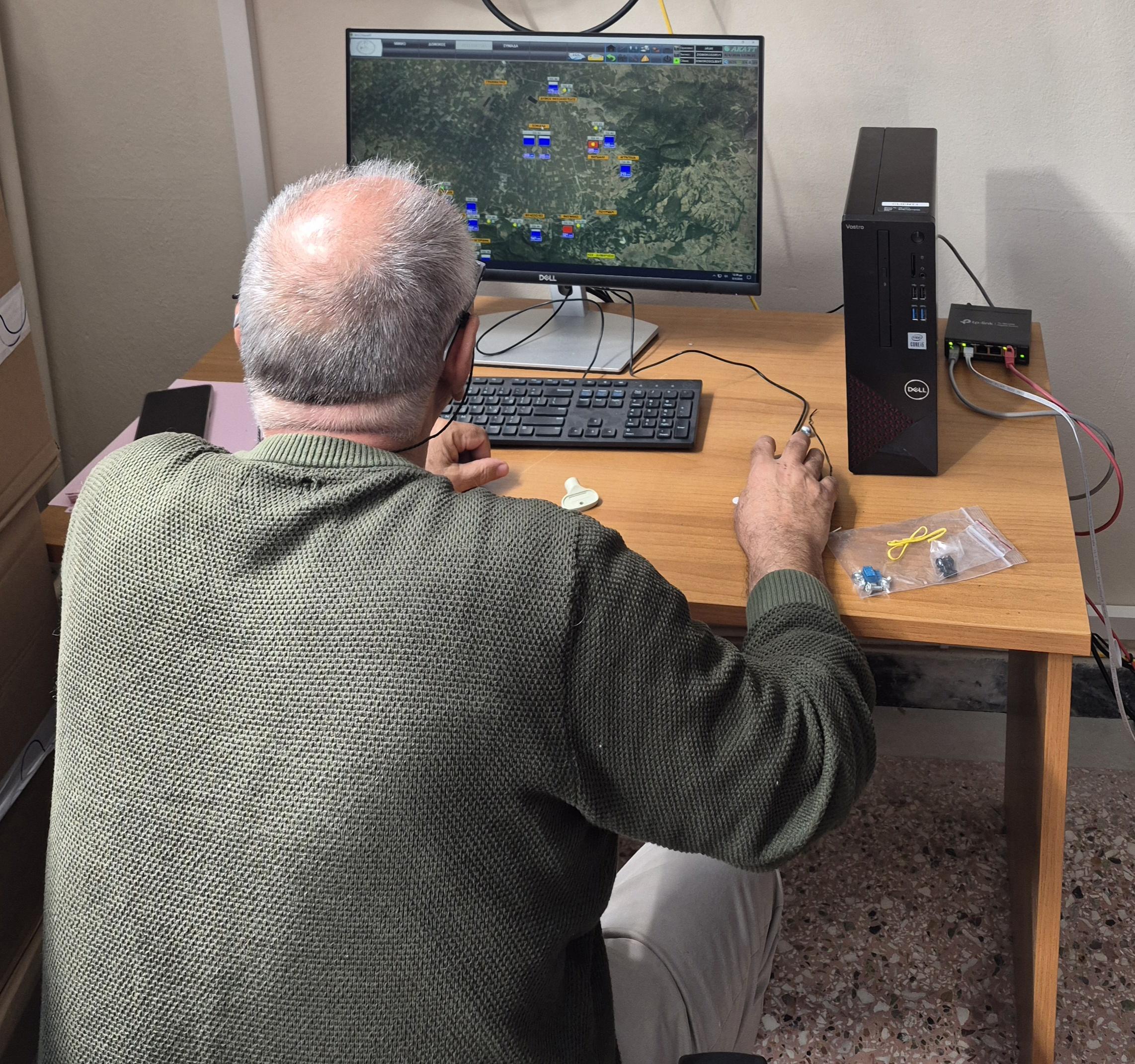
Covering 695km² and serving 32 Municipal Communities, the Municipality of Domokos manages a water network that stretches from mountainous areas to lowland plains. The scale and terrain made manual monitoring difficult, leading to water losses, reservoir overflows, and inefficient operations. To address these challenges, the municipality deployed 78 Local Control Stations, equipped with flow meters, pressure gauges, level sensors, and an automated chlorination system, creating real-time visibility across the entire network.
CONNECTING PEAKS AND PLAINS THROUGH SMART TECHNOLOGY
The project creates a single digital management platform for a water network that spans areas with significant altitude differences. Through a wireless communication system and advanced SCADA technology, operators can continuously monitor network performance, detect leaks, regulate pressure, and optimise pumping operations. By overcoming geographical barriers and connecting previously fragmented systems, the project demonstrates how digital solutions can support efficient water management in large rural municipalities.
SECURING WATER RESOURCES FOR THE FUTURE
Continuous monitoring and data-driven decision-making have replaced reactive maintenance practices, improving reliability and service quality across all communities. Residents in remote villages now benefit from the same level of water safety and oversight as those in the municipal centre. Reduced water losses and lower energy consumption generate long-term financial savings, supporting further investment in sustainable infrastructure while strengthening resilience to climate change and future water scarcity.